Dhrangadhra Fm
Type Locality and Naming
OUTCROP: Its type section is exposed along Wadhwan-Dhrangadhra-Nareli traverse NE of Saurashtra plateau.
Synonym: Darangadhra Fm (spelling version used by Directorate of Hydrocarbons)
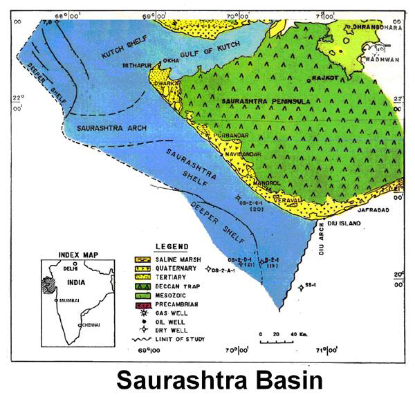
[Figure 1: Index Map of Saurashtra Basin (from dghindia.gov.in)]
Lithology and Thickness
Clayey sandstone. Consists of felspathic argillaceous sandstone with subordinate shales and clays. Sandstones are cross-bedded and conglomeratic, pebbly, fully sorted and occasionally ferruginous and fining upwards. Shale occurs with ferruginous ironstone and coal bands in the basal exposed part. Estimated thickness in the type section is 488.4 m. Seismic data suggest 500 to 1600 m thick east of Chotila.
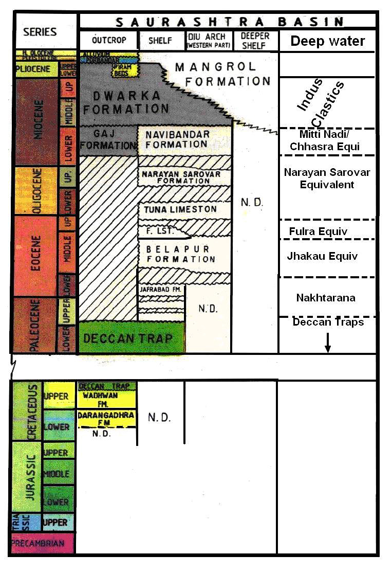
[Figure 2: Generalized Stratigraphy of Saurashtra Basin (from dghindia.gov.in)]
Relationships and Distribution
Lower contact
In the well Dharangadhra-1, this formation overlies the Precambrian basement.
Upper contact
Upper boundary is gradational with the Wadhwan Fm and base is not exposed in the type section.
Regional extent
Exposed in the north-eastern part of Saurashtra Peninsula and is correlatable with Bhuj Formation of Kutch & Serau and Viramgam formations of the Cambay Basin.
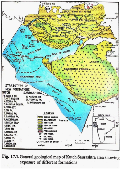
[Figure 2: General geological map of Kutch Saurashtra area showing exposure of different formations (after J.Mishra in Raju and Misra, 2009)]
GeoJSON
Fossils
Ammodiscus sp., and pollen-spores, Gastropods shells, Maglomidium indicum, Plylophleum sp.
Age
Depositional setting
Fluvio-deltaic to near shore depositional conditions.
Additional Information


